History of Land Conservation Special Collection
By Lauren Bissonette on April 5, 2023
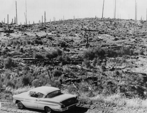
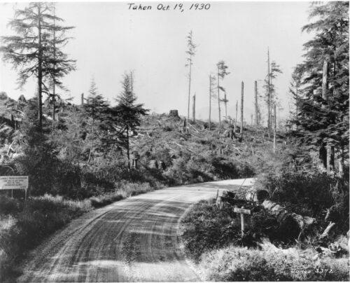
In 1956 when Georgia-Pacific Corp. bought this Oregon timberland it looked like this, the desolate victim of lightning fires and old-time logging, now outmoded. Part of a 62,000-acre Coquille, Oregon, certified tree farm, it was salvage logged by G-P to remove debris, then both aerially reseeded and hand-planted with Douglas fir between 1958 and 1960. The company set up marked camera points to record rehabilitation growth from year to year. (This photo is camera point #6, NW 1/4, SE 1/2, Sec. 21, T 305, R10 W, N 45 degrees W.)
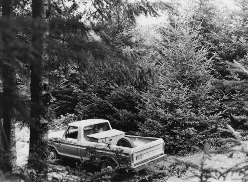
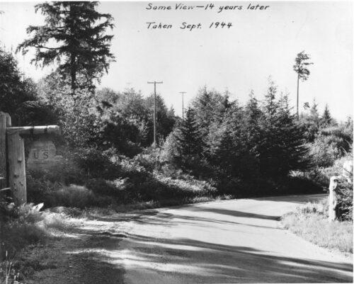
View from exactly the same point today, only 16 years of regrowth later, shows beautiful fir forest with trees large enough for first thinning to speed new growth, and younger trees still coming in beside fire protection road. Trees at left will be ready to harvest for homes and paper products in barely 15 years under modern continuous-growth forestry. Area now is full of wildlife again, including one of Oregon's famed Roosevelt elk herds. (This photo is camera point #6, NW 1/4, SE 1/2, Sec. 21, T 305, R10 W, N 45 degrees W.)
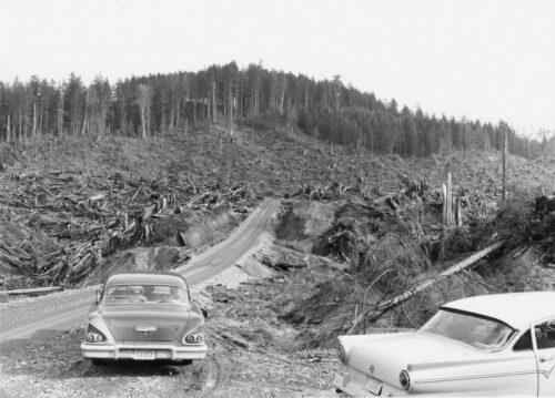
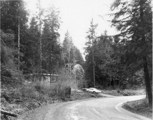
Beyond the clear-cut setting, logged in 1957 , appears an even aged stand of hemlock poles, on right-hand slope, that originated as a result of the 1922 blowdown. Dick Sterling, Forester of the Aloha Lumber Co. states that the larger even-aged hemlock stand, in background, apparently followed an extensive blowdown in the year 1840. March 3, 1959.
[Beyond the clear-cut setting, logged in 1957 , appears an even aged stand of hemlock poles, on right-hand slope, that originated as a result of the 1922 blowdown. Dick Sterling, Forester of the Aloha Lumber Co. states that the larger even-aged hemlock stand, in background, apparently followed an extensive blowdown in the year 1840. March 3, 1959.]
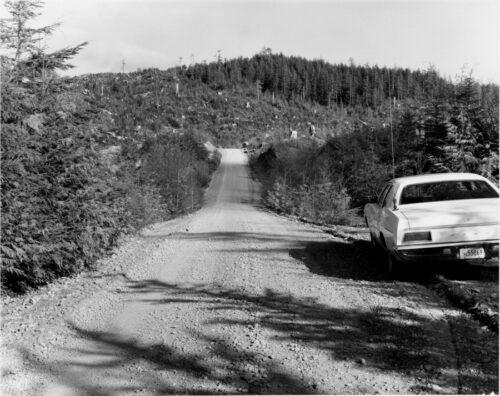
Same location April 18, 1972.
Same location April 18, 1972.
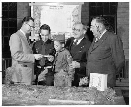
[1956][Boy Scouts of America.][Three men and two boy scouts stand in front of a "Conservation Progress Chart" that lists various merit badges earned by individual scouts and the conservation activities completed by scout troop 307 from Cicero, Illinois.]
[James F. Kohout (far right), yard manager of Edward Hines Lumber Company in Cicero, presented a number of conservation awards to troop 307 on behalf of American Forest Products Industries, Washington, D.C.]
[James F. Kohout (far right), yard manager of Edward Hines Lumber Company in Cicero, presented a number of conservation awards to troop 307 on behalf of American Forest Products Industries, Washington, D.C.]
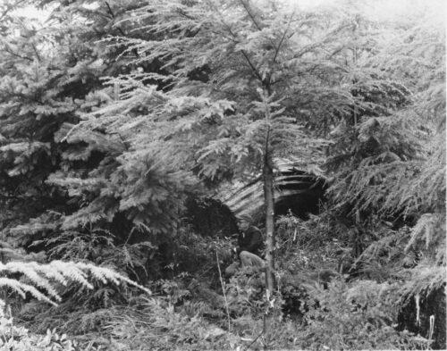
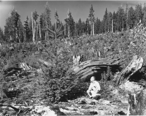
[Onnie E. Paakonen, Forester, of the Hoquiam Subagency staff, in Douglas-fir plantation on a cutting on a portion of the State of Washington's sustained yield unit, in the Salmon River's drainage in Section 35, T 24 N, R 11 W, north of Quinault Reservation.
Same stump. Onnie Paakonen looking at the same tree. Taken April 20, 1972
Same stump. Onnie Paakonen looking at the same tree. Taken April 20, 1972

